Land Surveying Services in Minneapolis, Saint Paul & Minnesota
Accurate land surveying is the foundation of every successful construction, development, and property transaction. Without reliable data, projects face increased risk, delays, and costly corrections.
At Demarc Land Surveying & Engineering, we provide professional land surveying services across Minneapolis, Saint Paul, and throughout Minnesota—delivering clarity and confidence at every stage of your project.
Professional Land Surveyors Delivering Accurate Results
When the survey is done right, everything that follows becomes more efficient and predictable.
- Clear, defensible property boundaries
- Accurate data for planning and design
- Compliance with local and state requirements
- Reduced risk of disputes, delays, and rework
Comprehensive Land Surveying Services
Each service is delivered with precision and designed for real-world use in planning, design, and construction.
- ALTA/NSPS land title surveys
- Construction staking and site layout
- Topographic surveys
- Boundary and property line surveys
Surveying that works in the real-world
This ensures your project moves forward smoothly from start to finish.
- Integrates with engineering and site design
- Reflects actual site conditions
- Meets Minnesota regulations
- Prevents costly construction issues
Local Land Surveyors Serving Minnesota
Our local expertise helps avoid delays and keeps approvals moving.
- Zoning and permitting requirements
- Twin Cities development standards
- Regional terrain and site conditions
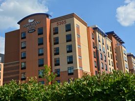
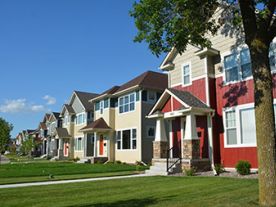
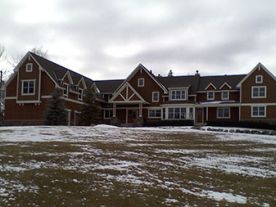
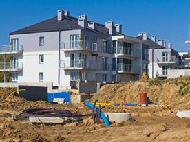
Residential and Commercial Land Surveying
From simple surveys to complex developments, we bring the same level of precision and reliability.
- Builders and contractors
- Developers and commercial projects
- Homeowners and property owners
Trusted Land Surveying Company in Minnesota
Demarc Land Surveying & Engineering is a third-generation company known for accuracy, efficiency, and dependable results. We don’t just complete surveys—we provide the clarity your project depends on.
Request a Land Survey Today
If you're looking for a professional land surveyor in Minneapolis, Saint Paul, or anywhere in Minnesota, contact our team today.
FAQs
When do I need a land survey performed?
A land survey is needed when building a new structure, adding onto an existing home, adding impervious surfaces, resolving boundary questions, or dividing land. It confirms exact property lines and identifies encroachments or easements that could impact your plans.
In Minnesota, surveys are not required for residential purchases. They are typically needed for construction, permitting, or resolving disputes. Having an accurate survey early helps prevent costly issues later.
How long does a land survey take to complete?
Most residential land surveys are completed within 1 to 3 weeks, depending on property size, terrain, and the availability of existing records.
The timeline includes both fieldwork and research. Locating monuments and boundary evidence, reviewing historical documents, and resolving boundary discrepancies can all impact the overall timeline.
Projects involving older plats, unclear boundaries, or coordination with municipalities may take longer. Clear scope and access to the property help keep timelines on track.
How do I choose the best surveyor in Minnesota?
Choose a licensed surveyor with strong local experience and a proven track record of accuracy and reliability. Familiarity with Minnesota municipalities is important, since requirements vary by city and county.
An experience firm can identify issues early, coordinate with local agencies, and keep projects moving efficiently.
How much does a typical land survey cost in Minnesota?
In Minnesota, most residential surveys typically cost between $700 to $2,700, while more complex properties can cost $4,000 or more. Factors that impact pricing include lot size, terrain, research requirements, and the condition of existing monuments.
We commonly see higher costs around lakes such as Lake Minnetonka or Bde Maka Ska, where property boundaries are often more complex.
Older neighborhoods, missing or disturbed monuments, irregular lot shapes, or properties near water typically require more time and increase cost.
Because of these variables, surveys are priced based on scope rather than a flat rate.
Every property is different, so the most accurate way to determine cost is to review the specific property conditions, existing records, and project scope.
What is the difference between a boundary survey and other types of surveys?
A boundary survey establishes exact property lines and corners, defining ownership limits. In Minnesota, boundary surveys are often used for improvements such as fence placement, landscaping, or boundary disputes.
Other surveys serve different purposes. Topographic surveys map elevations and site features for design, while construction staking is used to lay out improvements in the field. The right survey depends on what you are trying to accomplish.
Land Surveying Services