Land Development Services
For commercial and residential land development, surveying is a critical part of the process. Our surveying services include boundary locations, topography, utility locations, site layout, preliminary plats, final plats, mylars and setting new lot corners. At Demarc Land Surveying & Engineering, we have been providing the Twin Cities and surrounding areas with high-quality, accurate surveys for over 55 years. Our experience and attention to detail provides our developers with the accuracy they need to make the developing process timely.
Contact us today to learn more about our land development surveys.
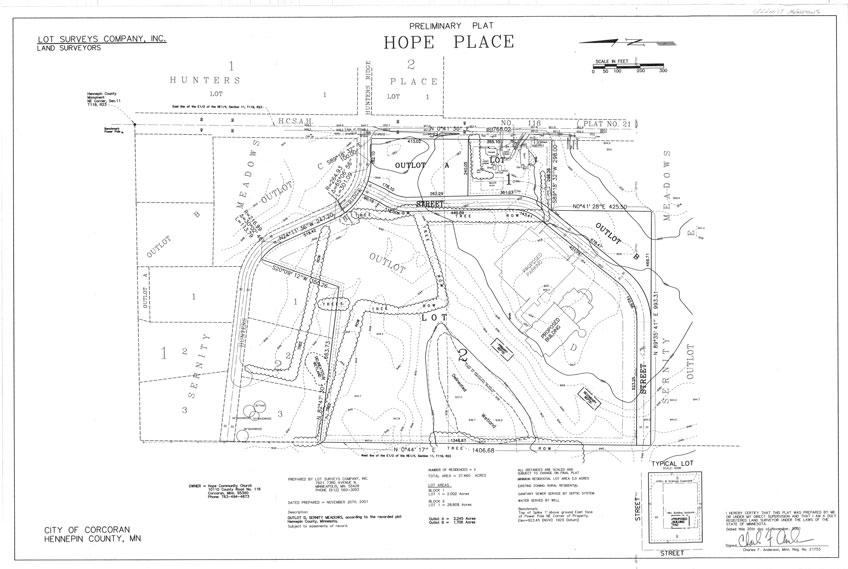
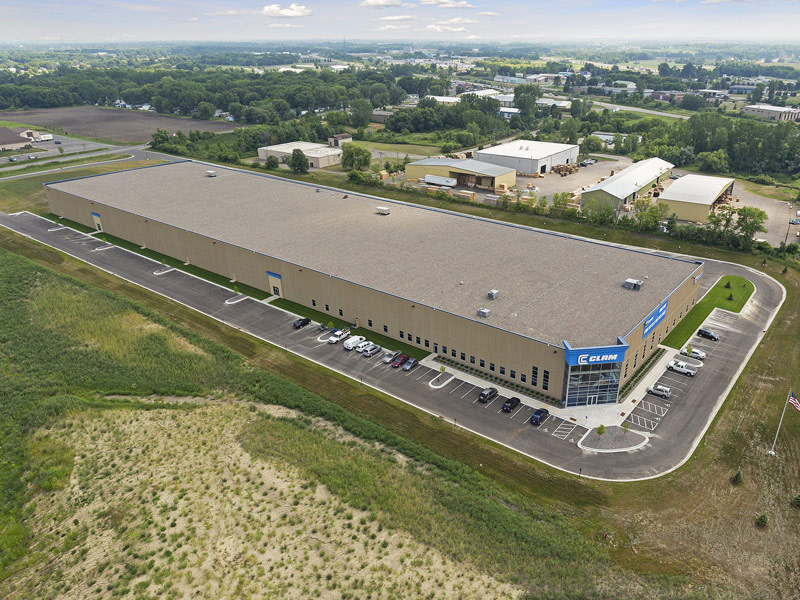
Sample Land Development Project (Click image for PDF)
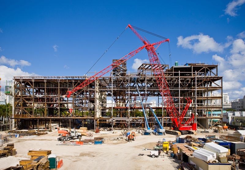
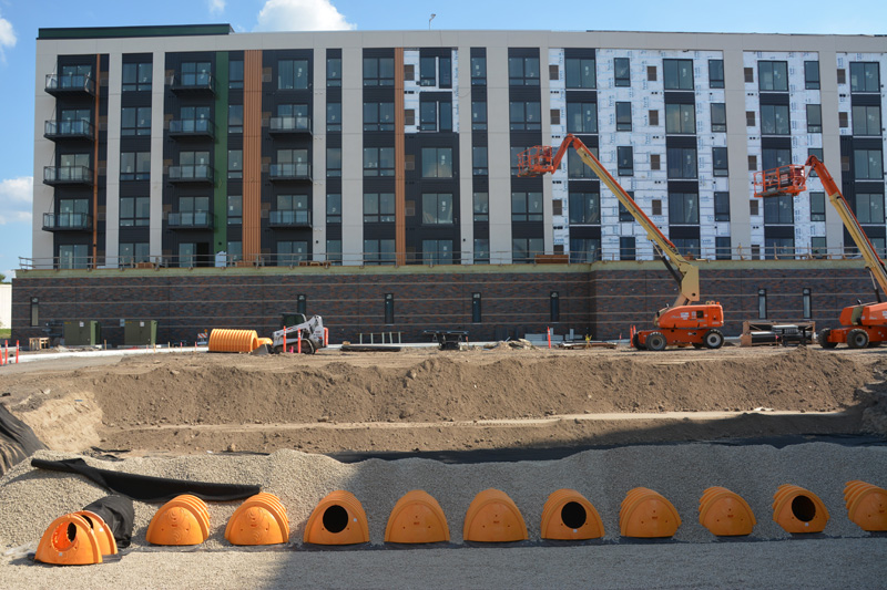
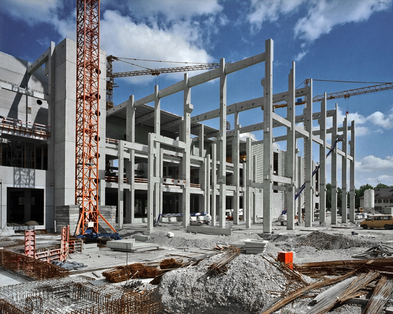
PROJECT GALLERY


FAQs
How does a land development survey help with site planning?
A land development survey provides accurate boundary, elevation, and existing site data used to support engineering design, grading plans, and permitting submittals. This allows engineers and planners to design compliant site layouts, identify constraints early and avoid costly revisions during municipal review and construction, reducing change orders and improving project outcomes.
How long does a land development survey take?
Most land development surveys are completed within 2 to 5 weeks, depending on site size, complexity, and location. Larger commercial or industrial projects take longer due to expanded fieldwork, data processing, and coordination with municipalities and utility providers.
What should be included in a land development survey?
A land development survey includes boundary lines, topographic data, utilities (including sizes and inverts when available), easements, existing structures, access points, and relevant site features. This information supports civil engineering design, stormwater management, and land division processes such as platting and lot splits, along with municipal permit requirements.
How much do land development surveys typically cost?
Most land development surveys cost between $4,000 and $15,000 while large multi-phase developments or platting projects can exceed $80,000. Costs vary based on site size, terrain, accessibility, and project scope, with larger projects typically providing better cost efficiency on a per-acre basis.
Survey quality directly impacts downstream costs. Inaccurate or incomplete data can lead to design revisions, delays, and increased construction costs.
What is the role of the surveyor and civil engineer in land development?
Surveyors collect and verify field data, establish boundaries, and map existing conditions. Civil engineers use this data to design grading, drainage, utilities, and site layouts that meet municipal requirements and support construction. The accuracy of the survey directly impacts design quality and construction costs.
