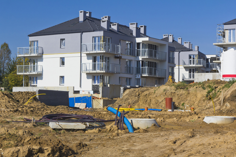
Residential Land Surveying Services in Minneapolis & Saint Paul, MN
Inaccurate or incomplete survey data can lead to boundary disputes, permitting issues, failed inspections, and costly delays during construction.
At Demarc Land Surveying & Engineering, we provide reliable residential land surveying services across Minneapolis, Saint Paul, and throughout Minnesota—delivering clear, precise data that supports your project from start to finish.
- Accurate, easy-to-understand results
- Reliable data for planning and design
- Confidence in property boundaries
We deliver surveys that help projects move forward without delays, rework, or unnecessary costs.
Clear Answers That Reduce Risk
Uncertainty around property lines or site conditions can create unnecessary delays, disputes, and added costs.
- Clearly define property boundaries
- Identify potential issues early
- Support permitting and compliance
- Provide reliable data for planning and design
When you know exactly what you’re working with, decisions become faster—and mistakes become avoidable.
Complete Residential Survey Services
We provide a full range of residential surveying services, tailored to support projects at every stage:
- Boundary and property line surveys
- Certificates of survey
- Site and improvement surveys
- Elevation and grading surveys
Each survey is delivered with a focus on accuracy, clarity, and real-world usability.
As-Built Surveys for Compliance and Project Completion
Many municipalities in Minnesota require as-built surveys at key stages of construction to verify that work meets approved plans and elevation requirements.
- Foundation as-built surveys
- Final grade surveys
- Elevation verification for compliance
- Documentation required for municipal approvals
By confirming that construction aligns with approved plans, as-built surveys help prevent delays, avoid costly corrections, and keep your project moving toward completion.
We regularly coordinate with builders, contractors, and design teams to ensure survey data aligns with real-world construction requirements.
Built for Residential Projects of All Sizes
We support a wide range of residential work—from individual properties to larger developments:
- Builders and contractors
- Residential developers
- Homeowners and property owners
- Real estate professionals
Our experience allows us to handle both straightforward surveys and projects that require coordination across multiple stakeholders.
Local Expertise That Keeps Projects Moving
Working in Minneapolis, Saint Paul, and across Minnesota means understanding local requirements, zoning regulations, and approval processes.
- Meet local permitting requirements
- Align with project and design needs
- Reduce delays during approvals and construction
Simple, Clear, and Reliable Process
- Clear communication from the start
- Efficient scheduling and turnaround
- Accurate results you can rely on
No confusion. No unnecessary complexity. Just dependable results.
A Surveying Partner You Can Trust
As a third-generation company with over 64 years of experience, Demarc Land Surveying & Engineering is known for accuracy, reliability, and consistent results.
We don’t just complete surveys—we provide the clarity your project depends on to move forward with confidence.
Request a Residential Land Survey
If you need a residential land survey in Minneapolis, Saint Paul, or anywhere in Minnesota, our team is ready to help.
Request a quote today and get the accurate survey data your project needs to stay on schedule and avoid costly issues.
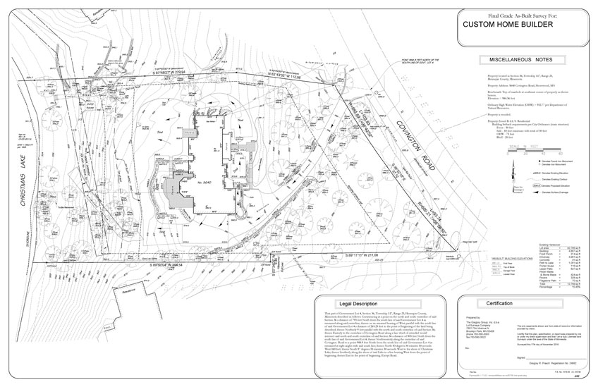
Sample of Residential Surveying Project (Click image for PDF)
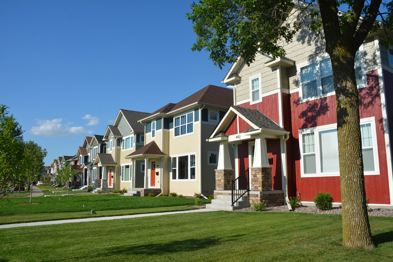
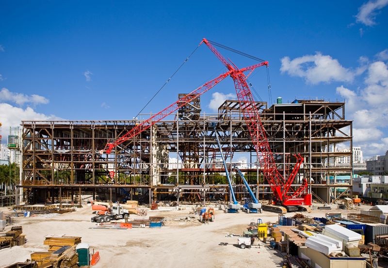
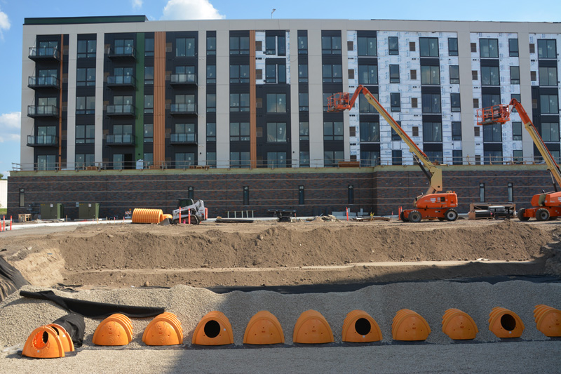
Project Gallery


FAQs:
Residential surveys typically include boundary surveys, Existing Conditions surveys, Site Plan Surveys, and Topographic surveys. The right type depends on your goal, whether you’re verifying boundaries for a fence or landscaping improvements, planning building additions or pools, or have drainage concerns. These surveys help document property lines, existing structures, and land features, depending on the specific requirements of the property or its intended use.
A boundary survey focuses on defining exact property lines and corners. A site plan, on the other hand, is used for showing proposed improvements like buildings, additions, and driveways for a permit through the city. In Minnesota, a boundary survey is typically used for fences, landscape projects and boundary disputes and does not include a drawing unless requested at an additional cost. An accurate site plan includes and depends on an accurate existing survey.
In Minnesota, most home buyers do not get a survey when they purchase a house. However, there are cases in which a survey is recommended for a home purchase. A boundary survey is recommended if property lines are uncertain and need to be known for fence or landscape projects. A certificate of survey is not always included and should be requested if neighboring disputes are anticipated. Costs can vary depending on the type of survey and property conditions. In Minnesota, a boundary survey typically costs between $700 and $1,500. The certificate of survey is an additional cost between $300-600.
Most residential land surveys in Minnesota are completed within a few days to a couple of weeks, although more complex projects can take up to 3 weeks depending on property conditions and record availability. The timeline for a residential land survey depends on property size, terrain, and the availability of existing records. The process includes both fieldwork and research. Locating monuments, reviewing historical documents, and verifying boundary evidence all impact the timeline. Projects involving older plats, unclear boundaries, or coordination with local municipalities may take longer. Clear access to the property and well-documented records help keep timelines on track.
Yes, Demarc identifies easements and encroachments by comparing field measurements with recorded property data and legal descriptions. This process can reveal situations where structures, fences, or improvements cross property lines or are affected by recorded easements, helping property owners understand potential risks and avoid future disputes.
If there is a disagreement, you can request a second opinion from another licensed land surveyor and have them review both the field evidence and recorded property documents. Land surveyors base their opinions on physical evidence in the field, historical records, and legal descriptions of the property. In some cases, additional context such as long-term property use or input from property owners may also be considered as supporting information. Boundary differences are typically resolved by analyzing physical evidence, historical records, and legal descriptions. Surveyors may work together to compare findings and resolve the dispute, but unresolved disputes may require legal review or mediation.
